Fauna Spotter Catchers
Wildlife checks, animal handling and support alongside your clearing crew.
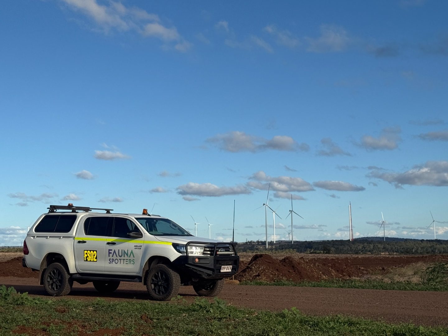
Fauna Spotter Catchers support vegetation clearing around Camooweal in the Mount Isa Local Government Area. The district includes the Georgina River, cave systems, wetlands and cattle station country, with the Barkly Highway connecting Camooweal and Mount Isa. Share your Camooweal site, dates and approval conditions so we can confirm scope and availability.
Choose the support your job needs. Specialist surveys are arranged around the site, target species and dates.
Wildlife checks, animal handling and support alongside your clearing crew.
Fauna and habitat checks before work starts, with findings recorded for your project.
Site-specific plans setting out how wildlife will be managed during the works.
Thermal imaging to help locate wildlife and guide follow-up checks.
By arrangement
Targeted searches using trained dog-and-handler teams.
By arrangement
The Barkly Highway connects Camooweal and Mount Isa, and cattle stations are part of the surrounding pastoral region. The Georgina River Bridge and highway deviation are infrastructure features west of Camooweal.
Ghost bats and orange leaf-nosed bats occur in the Camooweal cave systems, and surveys found both remained active after the 2023 floods. Wiliyan-ngurru National Park protects grass plains and woodland habitats, with wetland and woodland birds also present. The freckled duck is identified as rare in the park.
In Queensland, clearing remnant and regrowth native vegetation is regulated under the Vegetation Management Act 1999. Separately, tampering with a breeding place that a protected animal is using to incubate or rear young, such as an occupied hollow or nest, needs an approved species management program.
We check the approval conditions for your site before work starts and plan the spotter role around them.
Camooweal is the last Queensland town before the Northern Territory border. We support Barkly Highway road works, station and water infrastructure, exploration programs and civil works through to the border and into the Barkly.
Mapped potential, not confirmed sightings. Select a count to explore species names and profiles.
50 km around Camooweal. Library snapshot: 30 Oct 2026.
Total significant species: 47
Each species counts once in the total. Additional groups can overlap with one another and the conservation categories.
Mapped potential, not confirmed sightings. This is not a site survey or a complete wildlife inventory.
A 50 km circle centred on Camooweal, not a council boundary. It includes nearby areas and may extend across state boundaries or coastal waters.
Generated from Fauna Spotters significant-species screening library on 30 Oct 2026. Underlying source dates vary. Counts use mapped ranges and generalised distribution estimates, not a live ALA or WildNet records search. Marine-only profiles are excluded; coastal species may be included.
State and national conservation categories are shown separately. Priority and other conservation categories are not necessarily threatened listings. The total includes all significant fauna in the screening areas, including any adjacent jurisdictions. Listings may apply to only part of an area. Colonial breeding is an ecological grouping, not a threat status. Check individual profiles for listing details and source references.
Screening centres, using GeoNames (CC BY 4.0):
Camooweal and the Barkly Highway corridor to the Northern Territory border.
Enter your site, dates and crew needs for an itemised quote. We’ll confirm availability before booking.
We hold the Rehabilitation permit (spotter catcher) and can supply licensed personnel across Queensland. The licence is issued by the Department of the Environment, Tourism, Science and Innovation (DETSI) under the Nature Conservation Act 1992. Copies of licences, insurance and induction records are supplied with every quote.
Any additional permissions and approval conditions are checked for the job.
Ghost bats and orange leaf-nosed bats occur in Camooweal’s cave systems. Check whether the proposed clearing footprint could affect caves or associated habitat, and follow the conditions set out in your site approvals.
Send the site, dates, shifts and approval conditions. We will check crew availability and any permissions before confirming a start.
We hold the Rehabilitation permit (spotter catcher) and can supply licensed personnel across Queensland. The licence is issued by the Department of the Environment, Tourism, Science and Innovation (DETSI) under the Nature Conservation Act 1992. Copies of licences, insurance and induction records are supplied with every quote. Tampering with an animal breeding place needs an approved Species Management Program, and clearing in mapped koala habitat needs a dedicated Koala Spotter under the Koala Conservation Plan.
Yes. Share the clearing footprint, relevant approvals and any existing surveys. We will scope the plan and reporting requirements for your project.